


Road Survey
Measures and maps roads to help with planning, building, or maintaining them.
Land Survey
We are land surveyor near malappuram. We Measures boundaries and features of a property for legal or construction purposes.
Contour Survey
Maps the elevation and slope of land to understand terrain and topography.
Topographic Survey
Captures both natural and man-made features of land with elevation data for planning and design.
Plot Demarcation
Clearly defines the physical boundaries of a land plot for ownership and development.
DGPS Survey
Uses high-precision satellite technology to collect accurate geospatial data.
Industrial Survey
Assesses land and infrastructure for industrial site planning and optimization.
Leveling Survey
Determines height differences across land to establish a level reference point for construction.
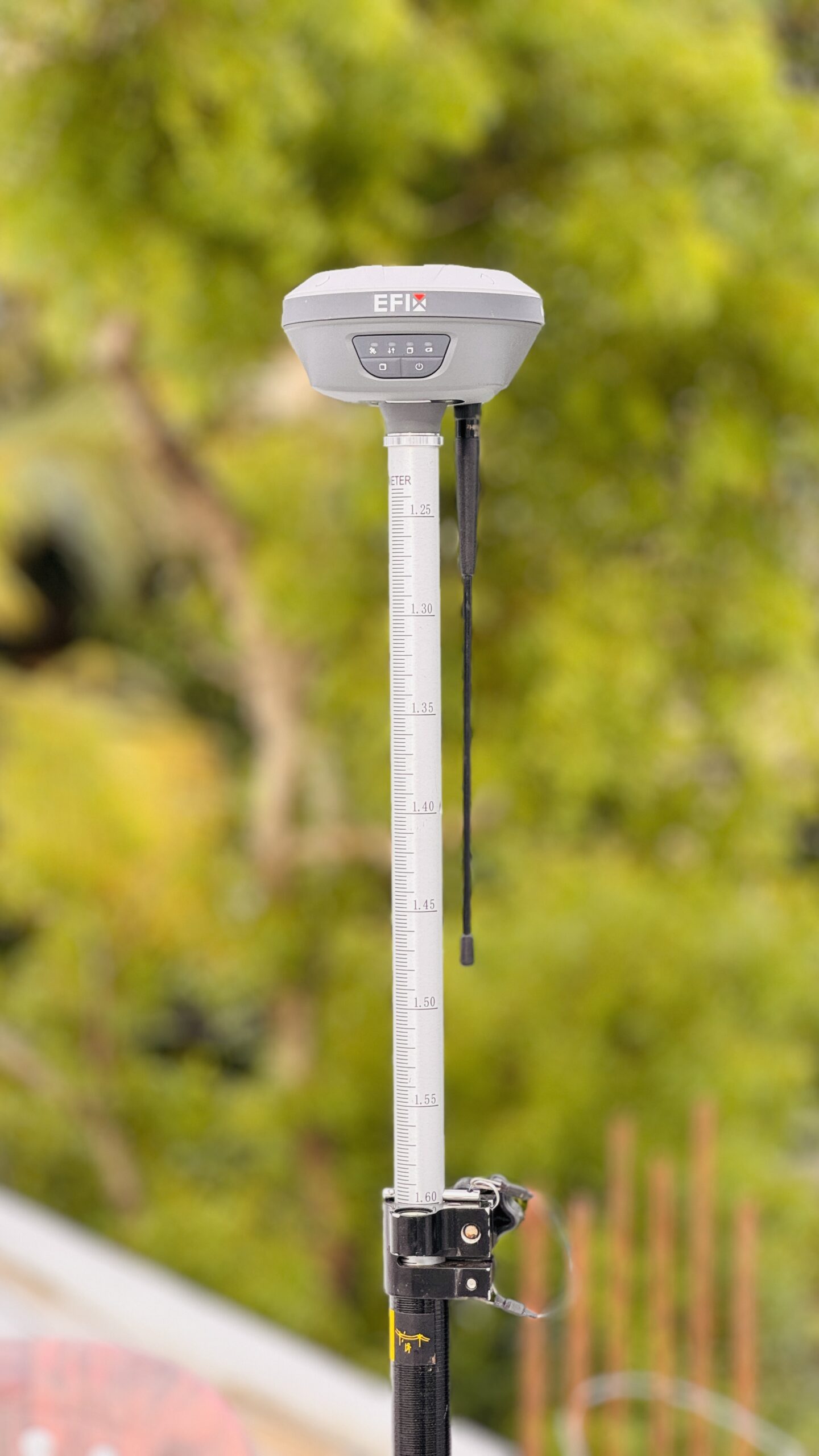
Efix-f7+
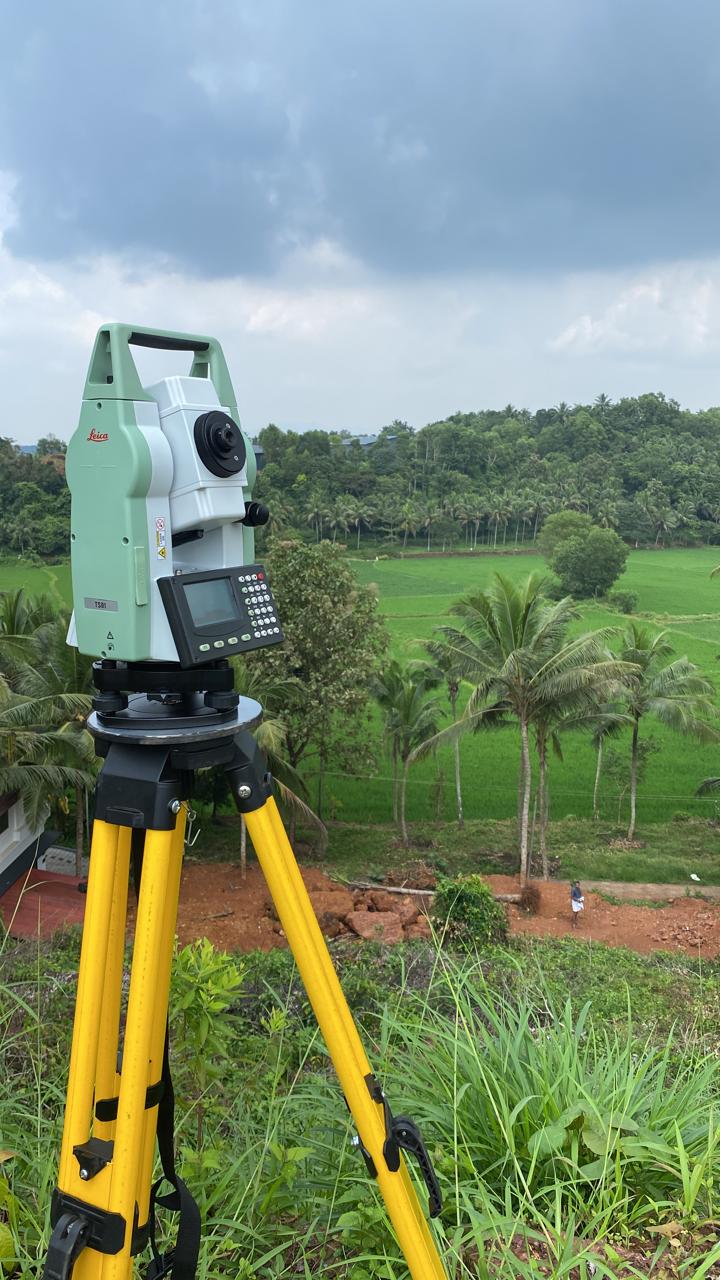
Leica
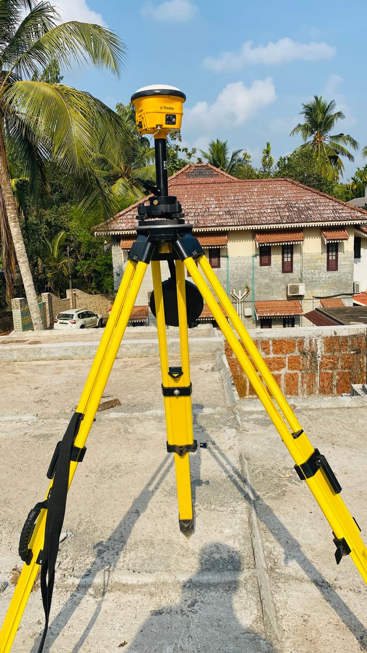
Trimble

Our Mission
To deliver precise and reliable surveying solutions that empower better planning, construction, and land management.

Vision
To be the leading name in innovative surveying services, shaping smart and sustainable infrastructures.


Email Us
arlandsurveyors.co@gmail.com

Address
AR LAND SURVEYORS
KOTTAKKAL